 Rust belt geography
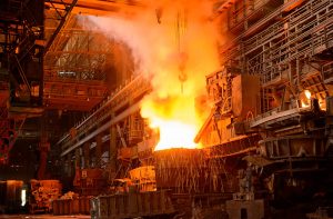
The ?¢‚ǨÀúRust Belt?¢‚Ǩ‚Ñ¢, also known as the Manufacturing Belt, is a geographical location in the Northeast United States and the Mid-Atlantic, as well as portions of the Upper Midwest. In broad definition, the region starts west of the Northeast Megalopolis and runs west into Minnesota, specifically the city of Duluth and the Iron Range. This area?¢‚Ǩ‚Ñ¢s economy has long been defined by the steel industry as well as other heavy manufacturing. Minnesota contains massive iron mine operations that are integral to the steel industry and it is often considered to be where the Rust Belt actually begins. The area around Lake Erie is considered to be the hub of the Rust Belt, and then the region extends southward to the coal mining regions of Appalachia, and north to the Great Lakes. This also includes the manufacturing regions of southern Ontario and Quebec, Canada.
The demise of the rust belt?
The Rust Belt is not a complimentary name and it came into being because of the decline of the steel industry during the 1970s. During this period, many of the region?¢‚Ǩ‚Ñ¢s factories were closed, shuttered, surrounded by wire fencing and guarded by rusted gates. In 2008 and 2009, joblessness in the region skyrocketed, passing the twenty percent that some areas suffered. It is hoped and theorized that the development of the hydrogen fuel cell, nanotechnology, biotechnology, and wind power may begin to result in gains for this region. All of this could have a significant impact in revitalizing the economy of the area. Even as the steel industry has been reinvigorated, the addition of many automated processes has left many workers still unemployed and not likely to be able to find work in their field of knowledge. Many of these displaced workers have been forced to learn other fields within their industry in order to sustain their homes within the region of the Rust Belt.

 Rust belt geography
